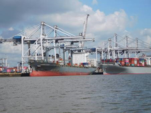
Master Docks Plus
Master Docks Plus provides data for over 40,000 port-and-waterway facilities and other navigation points of interest that describe the physical and inter-modal (infrastructure) characteristics of sites at the coastal, Great Lakes, and inland ports of the United States; with additional data for facilities in Alaska, Hawaii, Puerto Rico, the U.S. Virgin Islands, and the trust territories of the Pacific. The data include location (latitude/longitude, waterway, mile, and bank); operations (name, owner, operator, purpose, handling equipment, rates, and details of open-and-covered storage facilities); and type and dimension of construction (length of berthing space for vessels and/or barges, depth, deck elevation, and details of rail-and-highway access).The most recently published Master Docks.KMZ file