Team Activities
Buildings Flood Assessment
 In 2024, Kansas City District is providing a new project that provides the Kansas state agencies in the KHMT with flood consequences data in the eastern half of the state.
This data, tied to the National Structure Inventory, may be used to inform the state hazard mitigation plan. KDEM and KDA DWR may use the information to prioritize which flood mitigation actions to pursue first.
The project demonstrates how Silver Jackets emphasizes leveraging partner agencies activities and products. In this case, the FEMA supported flood mapping work done by KDA DWR, specifically depth grids from the Flood Risk Products, is used, and as this becomes available from Base Level Engineering work. This flood related input used by GoConsequences, a cutting edge flood risk tool from USACE IWR.
Spring Creek Flood Solutions
Bonner Springs will also receive USACE technical assistance in 2024. Owners of residential buildings, which have significant flood risk along Spring Creek, will get help understanding the flood risk and potential solutions. The measures that will get evaluated are buyouts, relocation, elevations, and potential channel widening. The work will be done in partnership with the residents, as well as DWR, KDEM, FEMA, and the city. A series of public involvement are part of the effort.
Flood Forecast Inudation Mapping with NWS and USGS
The Kansas team is completing three community's inundation maps, in Ottawa, Salina, and Humboldt in late 2023. These will be hosted by NWS on the National Water Prediction Service website. The website replaces the Advanced Hydrologic Prediction Service. Links to current community sites are listed below in a previous Team Activity.
Soils Versus Structures
States that have authorizations for watershed districts can incentivize using land use practices, similar to NRCS for reducing erosion, but instead catch runoff for flood and drought hazard mitigation. This 2023 project is looking at the tradeoff in watershed planning work based on the cost of these natural and nature-based features. This project begins a cost effective analysis that compares potential land use practices for soil health management systems (NRCS) with over 100 small dams in the Rock Creek watershed district. The economic analysis can guide the General Plans used by watershed districts in the future, assisting the KDA Division of Conservation and the State Association of Kansas Watersheds. The topic was discussed in this presentation made at the Kansas Governor’s Water Conference, November 16, 2024.
Nonstructural Workshop
On July 20, 2022, Brian Rast, Lead Silver Jackets Coordinator for Kansas, and Eric Lynn, Flood Risk Manager in Kansas City District, held a training session in cooperation with the KDA Division of Water Resources in Garnett, KS. Several community floodplain managers learned about nonstructural measures, including how to analyze and evaluate residential homes with various flood mitigation approaches. Attendees received training credits for maintaining their Certified Floodplain Manager certifications.
Kansas Healthy Watersheds
The Kansas Department of Health and Environment collaborated on their first project with the Kansas Silver Jackets team. The project evaluated the benefit of watershed-wide land use incentives that support the USDA Natural Resources Conservation Service soil health management systems. These are practices like no-tillage farming, cover crops, perennial plants, and mob grazing. The result is a healthier soil that is like a sponge for absorbing rainfall. This flyer helps in understanding. The team used a hydrologic model and showed how well the flood flows can be reduced in the technical report. The effort also looks at Atlas-14 rainfall factors that can raise awareness of flood risks and how to adapt. The Kansas team will begin another project in this field of watershed planning in October 2022.  For more information, you can visit the Kansas Department of Health and Environment’s Kansas Wraps website. The August national Silver Jackets webinar featured three presenters representing the project. The Division of Water Resources used the results from this project to evaluate hydraulic impacts, leveraging FEMA technical assistance in this report.
Risk Outreach & Communication in Kansas (ROCK)
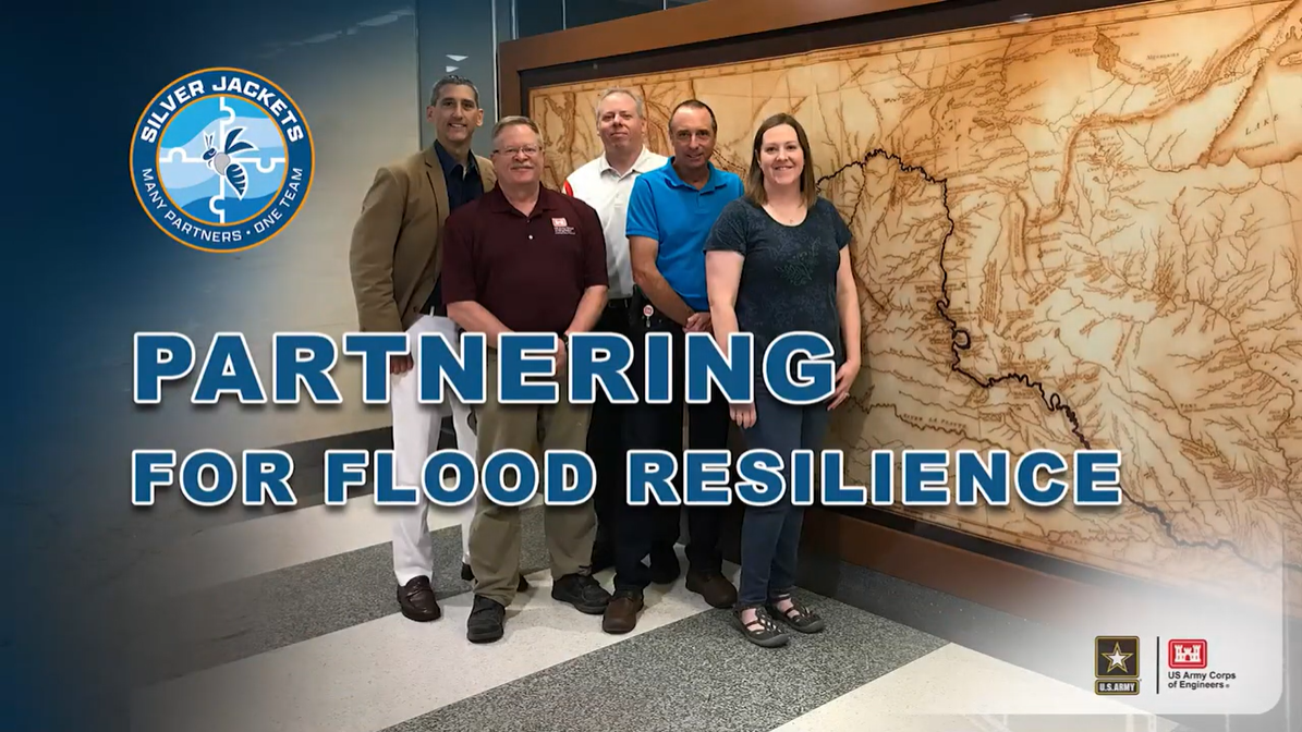
- One of the interagency team projects, called the Risk Outreach & Communication in KS (ROCK) project, has implemented several forms of communication between 2020-2022. Most of these were signs. In addition, the team developed a script and a video that raises the awareness of communities and individuals for becoming more resilient by diversifying their set of flood risk management measures. Click the image below to go to the YouTube video.

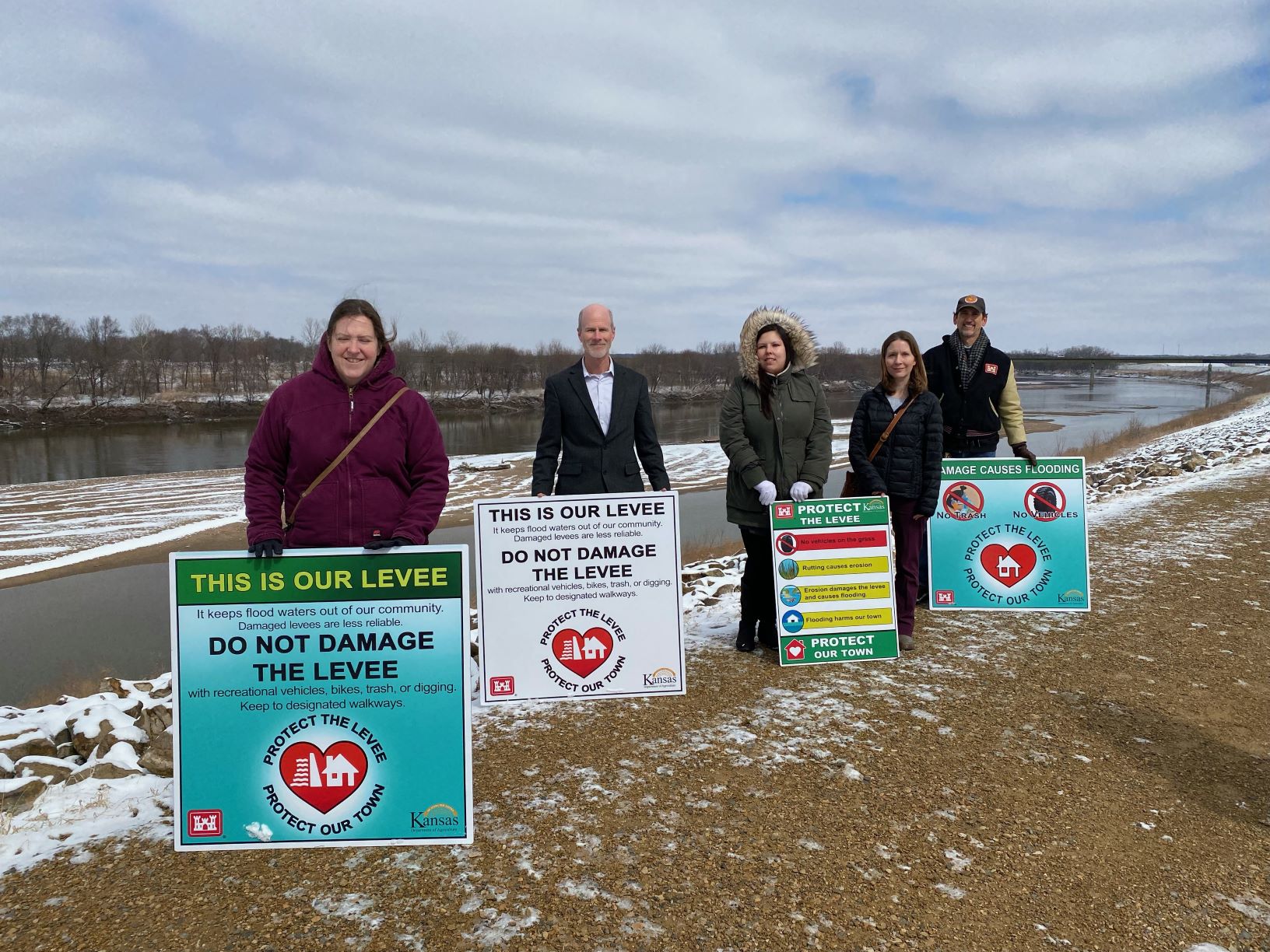
- The team developed four signs for levee sponsors and leveed communities to choose from in communicating the benefits of their levee and how to sustain it. The Topeka, KS levee sponsor received four signs on March 7, 2022, the first day of Flood Safety Awareness Week (see photo below).

- Flood awareness achieved through signs and other tools are part of the new ROCK project. USACE Kanas City District has teamed up with KDA Division of Water Resources and NOAA National Weather Service and produced Turn Around Don't Drown signs (supporting NOAA NWS program). Learn more about dangerous low water crossings on roads and steps to take to be safe here.
Kansas Flood Forecast Inundation Maps (FFIM)
A useful interagency collaboration with the state, National Weather Service (NWS), and the U.S. Geological Survey (USGS) are the flood forecast inundation maps (FFIMs), which go beyond traditional base flood maps by providing the extents of more severe flooding from forecasts. These collaborative projects are possible wherever a USGS gage coincides with a NWS forecast point. USACE provides expertise using HEC-RAS hydraulic model results for the continuum of stages. In addition, Missouri River FFIMS between Leavenworth, KS and Kansas City combine the forecast stages with levee heights. The inundation mapping combines flood warning and extents that affected property owners can use to take action. The Kansas Hazard Mitigation Team regularly requests assistance of federal Silver Jackets partners to develop new FFIMs in Kansas. Below are the FFIMs that NWS maintains on the Advanced Hydrologic Prediction Service (AHPS).
The above links are being replaced with the NWS new National Water Prediction Service webpage. Find the similar links to what’s above, here: Topeka (noaa.gov). Then, click the gage at the location, and in the window that opens, select Full Information. This opens the new webpage and users must scroll down to the Gauge Location map. Below it, on the left, check the box for Activate NAME FIM Gauge. The map will enlarge and offer stages on the left, similar to the original AHPS.
Kansas and Missouri Teams Receive Innovation Connection Award
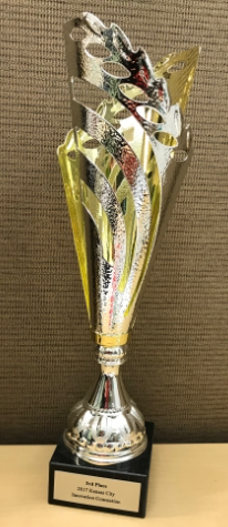
 The Federal Executive Board in Kansas City recognized the Silver Jackets projects that provide multiple flood forecast inundation maps with a trophy on August 8, 2017. The recognition was made on account of the innovative partnering combining the technical services of the NWS, USACE, and USGS with the state hazard mitigation teams.
Third Place Innovation Connection Trophy Awarded to Kansas & Missouri Silver Jackets Teams:
On August 21, 2012, peer state hazard mitigation programs selected the KHMT as the 2011 State Silver Jackets Team of the Year.