Team Activities
Missouri Flood Forecast Inundation Maps (FFIM)
- Revised flood forecast inundation maps (FFIM) for Missouri River at Parkville, MO flood warning tool combine the National Weather Service’s forecast stages with levee heights. Two continuous FFIMs span the river from west Kansas City to Leavenworth, helping to understand flood risks.
Harrisonville Flood Risk Assessment and Public Outreach
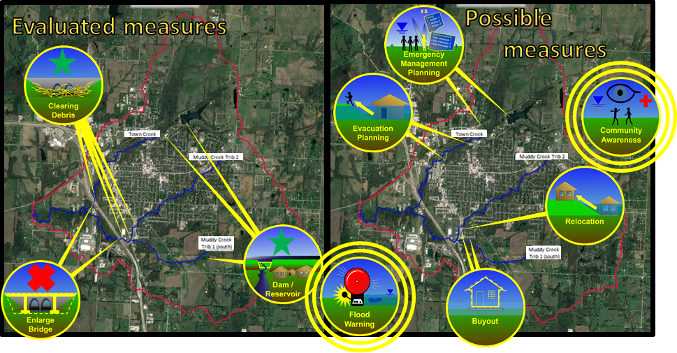
Aided the community in assessing several solutions for managing floods and includes assistance with public involvement. The public was invited to several open houses about flood solutions, including nonstructural measures. While COVID19 prevented some public involvement, this information sheet (4.9 MB) summarizes the technical services from Silver Jackets. USACE created a new planning tool in the computer software HEC-RAS, also providing a dam break analysis. This report (12.7 MB) summarizes the floodplain investigation and helps property owners understand next steps.

Roadway Flooding Assessment
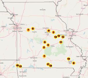
This project began with the goal of identifying and prioritizing flood mitigation sites along state roadways. Partners included Missouri SEMA and MoDOT. The USACE team members, including economists and geospatial analysts, examined 13 pilot sites. The team considered how the overtopping conditions from past floods have caused detours and delays to cars and trucks. The analysis will aid and inform future state hazard mitigation planning efforts.
The pilot sites address overtopping locations in the following counties: Laclede, Callaway, Pulaski, Johnson, Wayne, Gasconade, Maries, McDonald, and Ozark County.

In the December 2018, USACE economists and geospatial analysts evaluated pilot sites to begin a way to prioritize road mitigation actions in the future.
- The Roadway Flood Priorities project is helping MODOT and SEMA reduce flood hazards at roads. A key first step is flood awareness achieved through signs. Learn more about dangerous low water crossings on roads and steps to take to be safe here.