Snapshot of Past Projects
2023
Watershed University's Flood Risk Management Life Cycle Webinar Series

The U.S. Army Corps of Engineers (USACE) and the California Department of Water Resources (DWR) partnered under the Silver Jackets collaborative flood risk reduction program to host a series of four Watershed University webinars (from April 2023-August 2023) that focused on educating viewers on post-wildfire flooding and the four stages of the flood risk management life cycle: preparation, response, recovery, and mitigation. Each of the four webinars can be viewed here.
2022
California Emerging Professionals Flood Risk Education and Outreach

What makes a leader great? What qualities do successful leaders possess that sets them apart from their colleagues? Listen in to hear from two different vantage points of leaders working for the US Army Corps of Engineers.
The California Silver Jackets Team and FMA Emerging Professionals are partnering to host a series of Watershed University webinars focusing on leadership and soft skills for emerging professionals in the water resources field.
Webinars are available here:
Highwater Jamboree (October 2022)

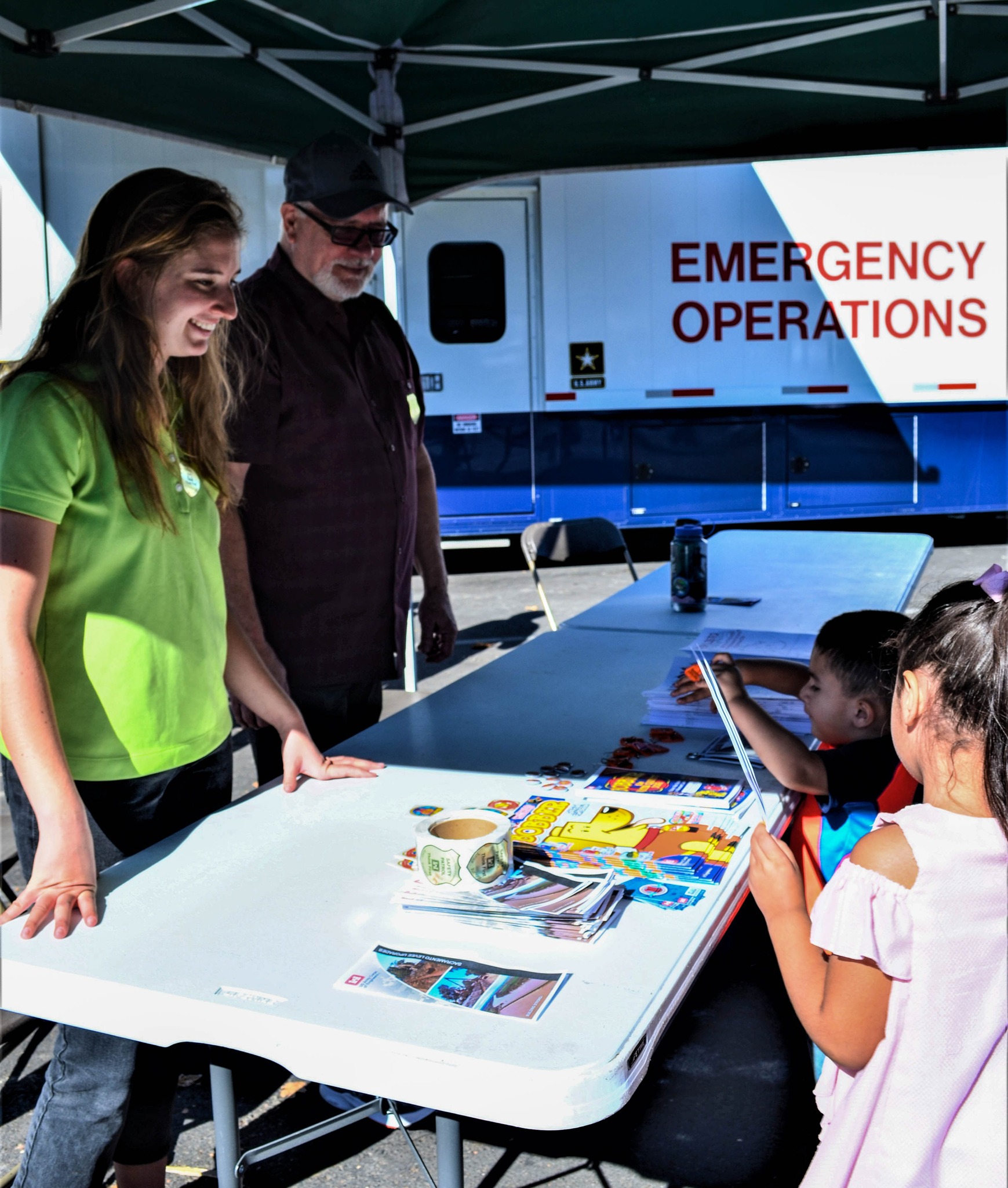
The City of Sacramento held its 2022 Highwater Jamboree on October 15 at Garcia Bend Park in the Picket neighborhood. The annual event, held in-person for the first time since 2019, drew a great turnout from the local community. Sacramento District employees, along with numerous state, municipal and first-responder agencies participated, offering interactive displays that drew attendees eager to learn - and take advantage of cool, free giveaways that included low-flow showerheads, food-scrap buckets and, of course, Bobber the Water Safety Dog swag.
2022 Watershed University Summit


Watershed University Virtual Summit 2020

The summit took place Tuesday, April 21 - Wednesday, April 22, 2020. It was a virtual forum for discussion on flood and related hazards pertinent to the southern California region and beyond. Recordings are available here.